Prelims Bits

Context:
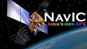
India has developed its own regional satellite navigation system, Navigation with Indian Constellation (NavIC), to reduce dependence on foreign systems like GPS (USA), GLONASS (Russia), Galileo (EU), and BeiDou (China). It serves both civilian and strategic purposes.
- Developed By: Indian Space Research Organisation (ISRO)
- Operational Since: 2018 (initially experimental, fully operational later)
- Coverage:
- Primary: Indian landmass and up to 1,500 km around India
- Extended: Proposed for global coverage in future
Constellation Details
- Satellites: 7 satellites in geostationary (GEO) and geosynchronous orbit (GSO)
- 3 in GEO (fixed relative to Earth)
- 4 in GSO (moves along orbit but relative coverage ensured)
- Ground Segment: Network of ground stations across India for monitoring and control
- Signal Accuracy:
- Position accuracy: ~5–10 m
- Timing accuracy: Sub-nanosecond


